
Locating Rebar in Indianapolis, Indiana
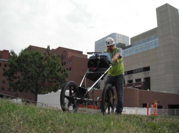
When a contractor needed to verify the location and depth of the utilities prior to excavation in Indianapolis, Indiana, they called GPRS, Inc. to locate the rebar and mark them directly onto the surface. GPRS used ground penetrating radar to precisely locate the rebar and its depth. Since the results are immediate GPRS was able to complete the work accurately and quickly. For projects in Southern Indiana and surrounding areas, contact Nate Kollar (317-504-1068) or by email at: nate.kollar@gp-radar.com.
The 400 MHz antenna along with the SIR 3000 locates utilities and gives an accurate depth to the top of the utility. The findings are then marked directly on the surface so any contractor excavation in the area knows how deep they can go before encountering utilities.